What is precision agriculture? The tools, the costs and who keeps the data
· 9 min read · by Samir Haddad
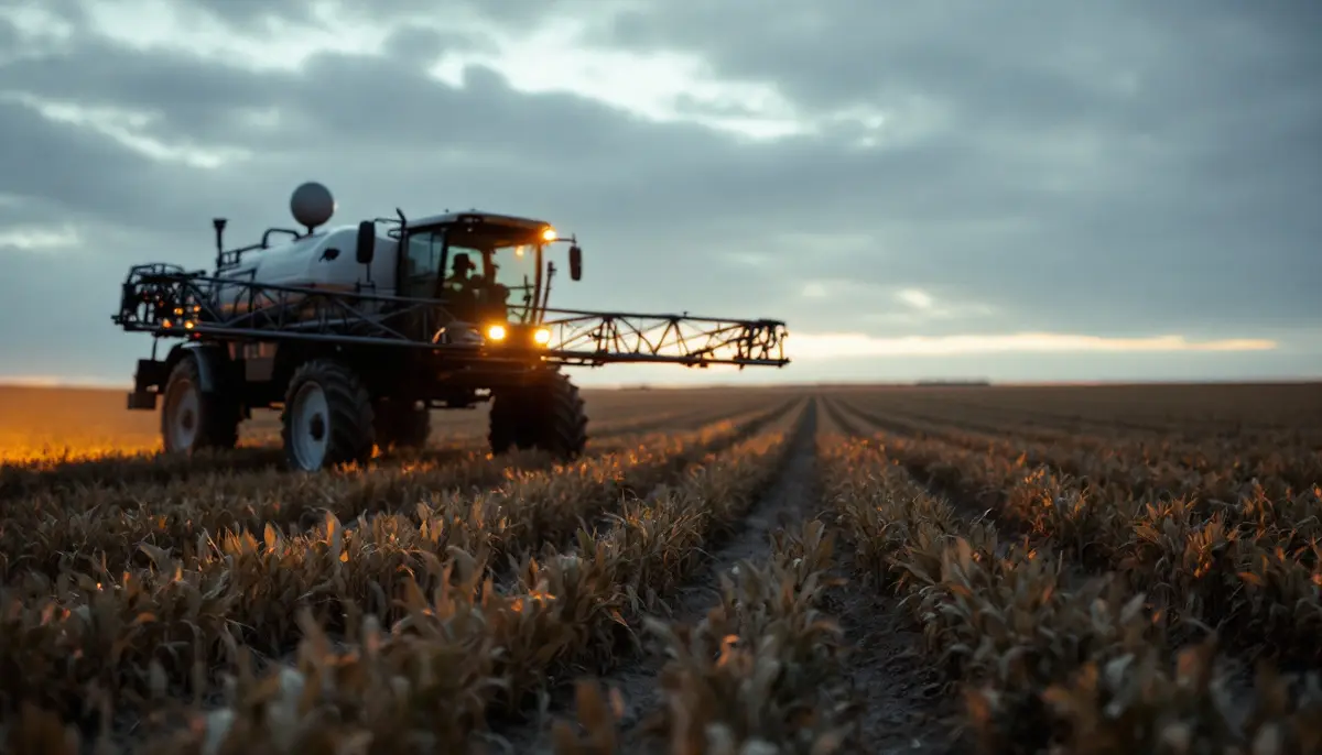
Precision agriculture is farming that treats a field as many small, different places instead of one uniform block. It uses satellite positioning, sensors and software to measure how soil and crops vary across a field, then adjusts what the machines do (how much seed, fertilizer, lime, water or herbicide goes where) to match that variation. The aim is to put inputs where they pay and hold them back where they don't.
In practice, "precision farming systems" means a stack of tools that farmers tend to adopt in roughly this order: GPS guidance and auto-steer, then yield monitors and maps, then variable-rate application, and finally a newer layer of drones, camera-guided spot sprayers and farm management software to tie it together. The first steps are now routine on large grain farms in North America, Europe, Australia and parts of South America. The later ones are patchier. And the whole stack raises a question that has little to do with agronomy: who controls the data it produces.
The name oversells things slightly. A field mapped to the centimeter is still farmed in weather nobody can map, and much of the payoff comes from modest gains repeated over many acres. That modesty is also why it has lasted.
Where the idea came from
The knowledge is old. Farmers have always known that the low corner floods and the gravel ridge burns up in a dry August. What changed from the late 1980s was the ability to record that knowledge by position. Agronomists in the US Midwest and in Europe began writing about "site-specific crop management", commercial yield monitors appeared on combines in the early 1990s, and in May 2000 the US government switched off the deliberate degradation of civilian GPS signals, known as selective availability. Accurate positioning became cheap enough for a tractor cab.
Not every strand started in the American corn belt. Japanese rice growers were spraying paddies from small unmanned helicopters in the 1990s, long before "drone" entered the farm vocabulary.
The main tools
GPS guidance and auto-steer
Guidance is the gateway. A receiver on the cab roof, using correction signals from a local base station or a network (a method called RTK, for real-time kinematic), can hold a machine's path to within about an inch, pass after pass. Auto-steer then takes the wheel along those lines.
The gains are unglamorous and real: fewer overlaps and skipped strips between passes, less wasted seed and spray, the ability to work at night or in dust, and a less exhausted driver. Controlled traffic farming, in which every machine runs in the same permanent wheel tracks so the rest of the field escapes compaction, depends on it.
Section control
Planters and sprayers are divided into sections that switch off automatically over ground already covered, at headlands, around point rows and near waterways. On irregular fields the savings in seed and chemicals add up quickly.
Yield monitors and yield maps
Sensors on a combine measure grain flow and moisture several times a second, tagged with position. The result is a map of how each part of the field performed. One year's map mostly reflects that year's weather; several years layered together show which zones are reliably strong or weak. Monitors need calibrating, and raw maps need cleaning, because an uncalibrated sensor produces confident-looking wrong numbers.
Soil sampling and management zones
Soil is sampled on a grid or by zone, sometimes alongside sensors dragged across the field to map electrical conductivity, a rough stand-in for texture and water-holding capacity. Combined with yield history and elevation, this lets an agronomist draw management zones: parts of the field that should be treated differently.
Variable-rate application
Here the promise is largest and the evidence most mixed. A prescription map tells the machine to change rates on the move: more seed on productive soil and less on poor ground, lime where pH is low, nitrogen by zone. It pays best in fields that are genuinely variable, where the variation is understood and stable. In uniform fields the cost of sampling, software and advice can swallow the savings. Nitrogen is the hardest case, because what the crop needs depends on rain and temperature that no prescription can know in advance.
Variable-rate seeding also assumes the seed behaves as labeled. A rate set per hectare quietly assumes a germination percentage, and a lot that germinates poorly undoes the precision. A simple germination test, run through our seed viability calculator, turns that percentage into a sowing number.
Sensors, drones and satellites
Satellite and drone images, especially in near-infrared, are used to calculate vegetation indices such as NDVI that flag stressed or thin patches of crop. Canopy sensors mounted on spreaders can adjust nitrogen on the go. Soil moisture probes and on-farm weather stations help schedule irrigation. Drones now spray as well as photograph; spraying drones are a common sight over Chinese rice and wheat fields, though regulators in many countries have moved more slowly.
The newest layer is computer vision. Camera-guided spot sprayers identify weeds as the boom passes and spray only those plants. Manufacturers point to large cuts in herbicide volume; independent results depend heavily on how weedy the field is.
| Tool | What it does | What it needs | Where the payoff comes from |
|---|---|---|---|
| Guidance and auto-steer | Holds the machine on exact lines | Receiver, correction signal, steering kit | Less overlap, less fatigue, longer working hours |
| Section control | Switches off sections over covered ground | Sectioned planter or sprayer, controller | Seed and chemical savings on odd-shaped fields |
| Yield monitor | Records yield by position | Combine sensors, calibration, data cleaning | Knowing which zones pay, over several seasons |
| Variable-rate application | Changes input rates by zone | Soil data, prescription maps, compatible equipment | Savings or gains where fields truly vary |
| Imagery and sensors | Spots stress and variation in-season | Drone, satellite feed or sensors, interpretation | Earlier, targeted action |
| Spot spraying | Sprays only detected weeds | Cameras, processing, fast nozzles | Lower herbicide use where weeds are sparse |
What it costs, and who uses it
Costs come in three layers. There is hardware: receivers, displays, controllers, sensors. There are subscriptions: correction signals, software, data platforms and, increasingly, fees to switch on features. And there is skill, which is the layer most often underestimated: someone has to calibrate the monitor, clean the maps and write the prescriptions, or pay an agronomist to do it.
New large machines usually arrive with much of the hardware built in. Retrofitting older equipment costs thousands of dollars per machine. Some manufacturers now sell capabilities as software unlocks, charged per season or per acre, so the farmer keeps paying for functions the machine physically already has. A one-off purchase and a perpetual fee are very different bargains.
Adoption follows farm size. USDA surveys of US farms have found guidance and yield monitors widely used on large corn and soybean operations and much less common on small ones, with variable-rate technology trailing behind guidance everywhere. The logic is simple. Guidance pays back on every acre, so it pays back faster on more acres. Variable-rate returns depend on field variability and on management time that small farms rarely have spare.
Elsewhere, precision often looks different. A smallholder in India or Kenya is unlikely to own an auto-steer tractor but may get a soil test with fertilizer recommendations, satellite-based advice by text message, or a spraying drone hired by the acre. India's Soil Health Card scheme, launched in 2015, set out to give farmers plot-level nutrient recommendations. The principle (measure first, then dose) is the same one behind variable-rate application.
Is it better for the environment?
It can be, with caveats. Applying nitrogen and herbicide only where needed should reduce what escapes into water and air, and fewer overlapping passes burn less fuel. But studies of variable-rate nitrogen have produced mixed results, and savings vary by field and by year. Efficiency gains can also go into expanding production rather than cutting inputs.
There is a deeper limit. Precision tools optimize the system they are given. A corn and soybean rotation run with perfect precision is still a corn and soybean rotation. Changing the system itself, through longer rotations, cover crops or bringing livestock back, is a different lever, and precision tools can support that change or simply make the existing pattern more efficient.
Who keeps the data?
Every tool above produces records: yield maps, as-applied maps, soil results, imagery and machine telemetry. Most of it is stored on platforms run by equipment makers or agronomy companies, under contracts that typically say the farmer owns the data while granting the provider a broad licence to use it. In the EU, the Data Act gives users of connected products, tractors included, a right to access the data their use generates. The US has no federal law specific to farm data. We went through the contracts, the codes of practice and the repair fight in our guide to who owns what your tractor knows.
The ownership question is also a market question. Several of the leading digital platforms belong to companies that already sell a large share of the world's seed, crop chemicals or machinery, which is why concentration ratios in agribusiness now matter for software as much as for inputs. A company that holds a field's yield history is well placed to price the seed and fertilizer that go into it.
Before you buy: five questions
- Does my field actually vary? Yield maps from several seasons, or a soil conductivity survey, will tell you before variable-rate equipment does.
- What will I do differently? Data that doesn't change a decision is a cost, not a tool.
- Can I export everything in an open format? Years of history locked in one platform make switching expensive.
- What stops working if I cancel? Check which features depend on a subscription or a live connection.
- Who does the data work? Budget for the hours, or for the adviser.
Hype, and a better track record
Agriculture has been sold plenty of revolutions. The vertical farm was one, and what those towers actually grew is a lesson in the gap between a pitch and a balance sheet. Precision agriculture has done better than most, largely because its first steps were modest: steer straighter, stop spraying the same strip twice. Equipment makers have been demonstrating driverless tractors since the early 2020s, and software firms promise automated agronomists. Those bigger claims are still claims, and the useful habit is to judge them the way farmers judged auto-steer: by what they save on an ordinary field in an ordinary year.
FAQ
Is precision agriculture the same as smart farming or digital agriculture?
The terms overlap. Precision agriculture usually means managing variation within fields using positioning and sensors. "Smart farming" and "digital agriculture" are broader labels that also cover farm management software, market platforms, livestock monitoring and automation.
Can small farms use precision agriculture?
Yes, though rarely in the same form. Shared or contracted services, drone spraying by the acre, soil testing and phone-based advice bring some of the benefits without the capital cost of owning guided machinery.
Does precision agriculture use AI?
Increasingly. Computer vision drives spot sprayers and some crop scouting tools, and machine learning is used to turn imagery and yield history into recommendations. The quality of those recommendations depends on the data behind them, which brings the argument back to who collects it and who gets to use it.

Written by Samir Haddad
Samir writes about technology and society (artificial intelligence, data, nanomaterials and digital farming) and about how new tools get governed, or not, once they leave the lab.